Beyond the Numbers: Humanizing City Data With Your Narrative İnfrastructure
Build consensus through continuity
Help the public you serve by starting from what they already understand:
- Pre-community engagement concept test.
- Frame your proposals as extensions of community stories.
- Identify areas of need and natural supporters.
- Identify areas inappropriate for projects.
- Re-frame technical data in presentations to the community in terms they already understand.
Planning with Stories
Serving With Empathy
Using community narratives to inform every action: Generalized data fails to capture the nuances of local communities, hindering empathetic and effective service delivery. Therefore, we must prioritize granular, locally contextualized data to understand and address the specific needs of individuals within those communities.
Example Nİ at Denver
Clear Communication, Strong Communities
Narratives are our shared language, and the kids can help!
Help us build
How You Can Use Community Stories in Your Department:
"Looking at the story layer, I noticed clusters of stories around senora Lopez's stoop, a corner store, and the old community garden. These weren't just areas on a map; they were stories of shared meals, impromptu music sessions, and generations of kids learning to plant in pots. By overlaying this narrative data with our zoning proposals, we realized that our initial plan for high-density apartments would obliterate these crucial community hubs. Instead, we adjusted the zoning to create a mixed-use zone focused on preserving these spaces, encouraging small businesses, and ensuring the neighborhood's historical heart remained intact."
Help us build
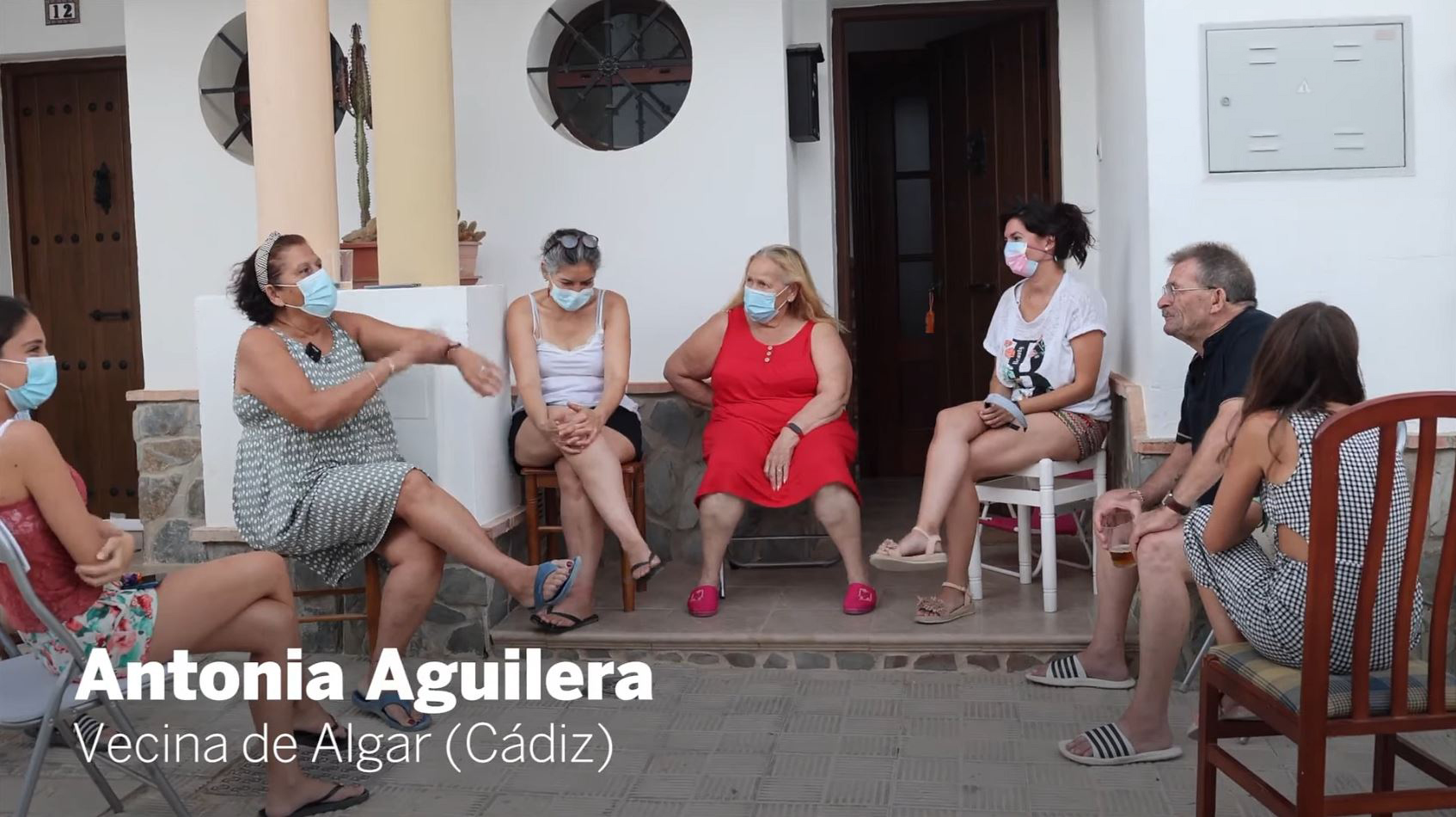
"We needed community buy-in for several years of planned disruptions. The stories revealed a recurring theme the annual flooding of Elm Street and the bottleneck at the intersection of Maple and Oak before improvements. Until we were able to put these together into a cogent narrative, we couldn't get the stakeholders to realize how bad flooding could be without intervention. Stories detailed the same flooded basements and near-miss accidents year after year. By visualizing these narratives we showed how we were directly addressing the community's long-standing concerns and preventing future hardship."
Help us build

"The map highlighted the empty lot by the library as a 'third place' in the community's collective memory. Stories spoke of impromptu soccer games, summer evening gatherings, and a place where neighbors just naturally connected. Rather than building another commercial space, we proposed transforming this lot into a community plaza, incorporating elements from the stories, like a small stage for performances and shaded seating areas, fostering the social interaction that was already happening informally."
Help us build
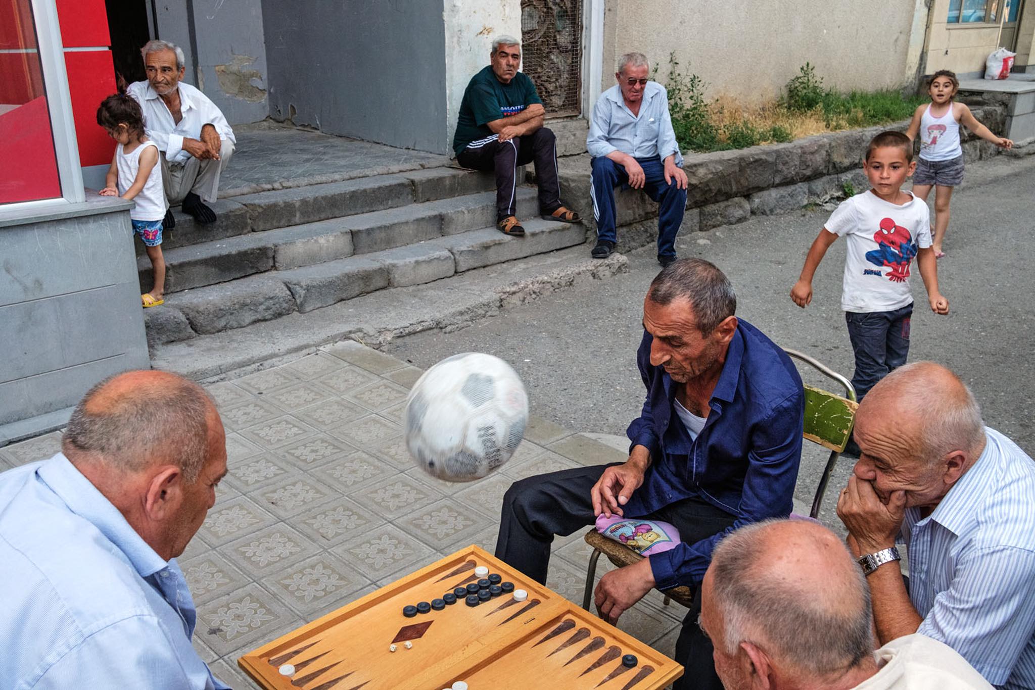
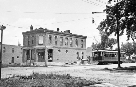
"Stories revealed how we used to have a light-rail line, how everyone utilized it. Narratives detailed how all ages knew the line, knew the drivers, and planned their day around going past their own stop to get the mail from the central post box. Stories around the post office were indicative of '3rd place' spaces where the community members congregated. While there is a bus stop there now, many residents avoided it due to safety concerns and the lack of any significant reason to be there. By mapping these older stories of transit-oriented gathering alongside travel patterns, we advocated for increased bus frequency, better lighting, and rezoned the corner lot to commercial use with a parking exemption, ensuring the proposed TOD project truly served the community's needs. Without the stories, the Zoning Board wasn't going to permit the change."
Help us build
"Although today the neighborhood is struggling with abandoned buildings and social isolation, the older stories on the map painted a picture of a once-vibrant neighborhood. Stories spoke of the closure of the local factory and the subsequent loss of community cohesion. Instead of a blanket 'revitalization' plan that could lead to gentrification, we used the narratives to identify key historical landmarks and community assets. We proposed a strategy that focused on restoring these assets, supporting local businesses, and creating programs that magnetized the community back to the sidewalks, empowering residents to lead the revitalization process. Once we assured them they were not going to lose their past, they took charge of making a future."
Help us build
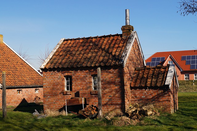
"The story layer revealed stories about the 'hidden park,' a small green space not officially documented, where generations had gathered for picnics and celebrations. Narratives also mentioned the intricate brickwork on the old bakery, a detail overlooked in official surveys due to remuddling. By combining these stories with visual documentation, we were able to propose the 'hidden park' for historic designation and advocate for the restoration of the bakery's unique architectural features, ensuring these valuable cultural memories were protected. This wasn't 'history book' preservation, it was the memories of the community we were preserving and allowing to be re-experienced."
Help us build
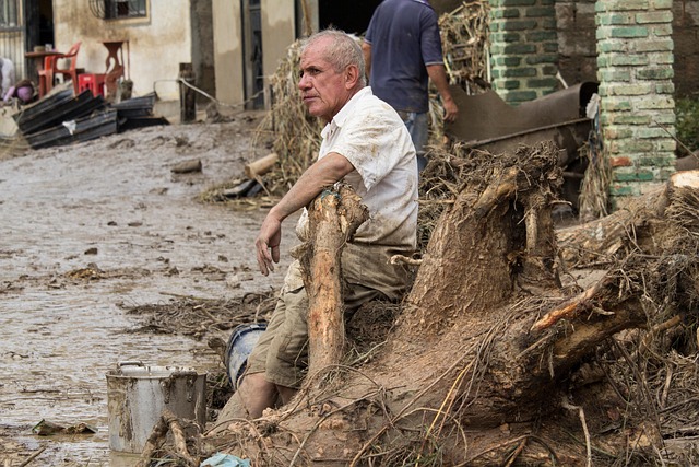
"The story layer showed a network of informal support during the major storm 35 years ago, with neighbors helping each other clear debris and share resources. Stories also detailed the ineffectiveness of the community's unofficial warning system. These formed the basis of a narrative we took to the council to request a program of neighborhood emergency drills. But we wrapped the idea around the community story of surviving that storm three decades ago and made it a kind annual memorial for those that didn't survive the storm. The map tells us where those victims lived, and this became the signage plan for having clear safety beacons in the community that were meaningful to their purpose."
Help us build
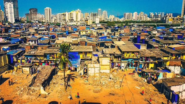
"Stories clustered around the old industrial site revealed residents' concerns about contaminated soil and air quality. Narratives documented chronic health issues and a lack of access to clean outdoor spaces going back 90 years. By mapping these experiences alongside environmental data, we were able to demonstrate the disproportionate exposure to environmental hazards and advocate for targeted remediation efforts and the creation of green spaces, addressing the community's environmental justice concerns by leading with their own stories."
Help us build
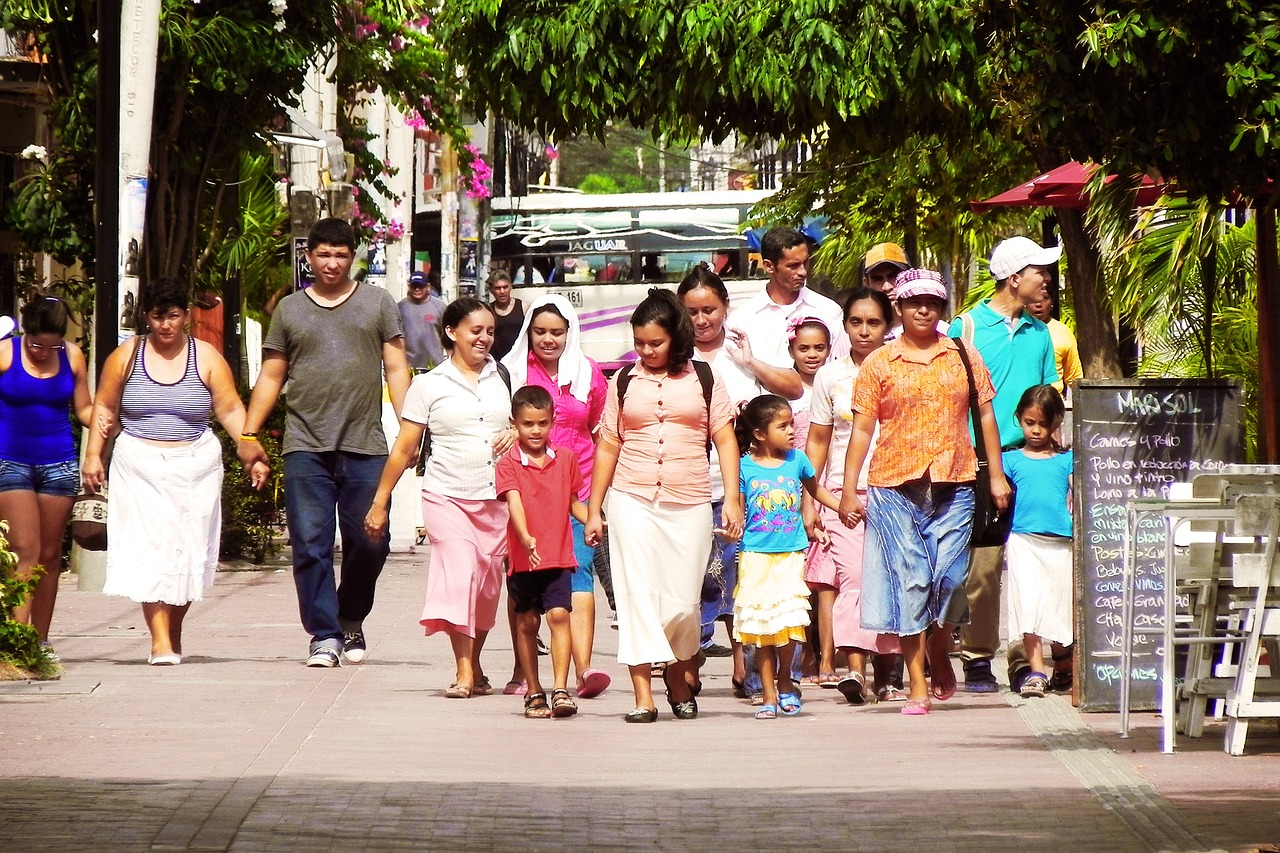
"The new stories collected revealed a pattern of stories about rising rents and experiences of displacement. Combining this with code violations detailing overcrowded apartments, unresponsive landlords, and the fear of losing their homes, we had a doom-cycle of declining value. We pivoted towards the narratives of resilience and interdependence that showed up in the map, and used those as starting points for rezoning for land trusts to protect open space and grant-funded co-op housing to start creating success stories to break the doom-cycle. Given the income levels, there was never going to be a middle-class population because they were never going to afford fee-simple homes. The co-op model provided a hybrid housing option that allowed the low-income community members to gain a significant degree of control and self-determination. Paring that with the trust spaces and ensuring they were funded allowed each co-op to become a community center. The historic stories were essential to get the project to be adopted by the locals as a continuation of their own story--a neighborhood culture."
Help us build
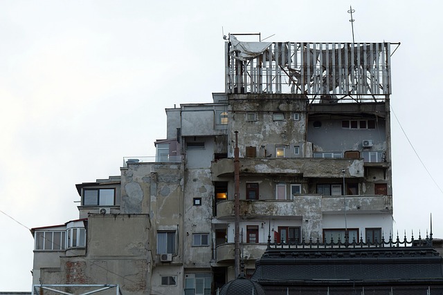
"Over the last century we have a host of re-developments that have become synonymous with failure like 'The Pink Elephant', 'Houston Pedestrian Street', and other less dramatic failures. These past embarrassments haunt the council, and make it really hard to propose interventions. Drafting our new urban design guide using examples of successes from the community stories makes those stories like a pattern book that is specific to several generations of this community. Now, new proposals are compared not to how they worked in another city, but how they compare to what we know works here."
Help us build

"Looking at the story layer, I noticed clusters of stories around senora Lopez's stoop, a corner store, and the old community garden. These weren't just areas on a map; they were stories of shared meals, impromptu music sessions, and generations of kids learning to plant in pots. By overlaying this narrative data with our zoning proposals, we realized that our initial plan for high-density apartments would obliterate these crucial community hubs. Instead, we adjusted the zoning to create a mixed-use zone focused on preserving these spaces, encouraging small businesses, and ensuring the neighborhood's historical heart remained intact."
Help us build

"We needed community buy-in for several years of planned disruptions. The stories revealed a recurring theme the annual flooding of Elm Street and the bottleneck at the intersection of Maple and Oak before improvements. Until we were able to put these together into a cogent narrative, we couldn't get the stakeholders to realize how bad flooding could be without intervention. Stories detailed the same flooded basements and near-miss accidents year after year. By visualizing these narratives we showed how we were directly addressing the community's long-standing concerns and preventing future hardship."
Help us build

"The map highlighted the empty lot by the library as a 'third place' in the community's collective memory. Stories spoke of impromptu soccer games, summer evening gatherings, and a place where neighbors just naturally connected. Rather than building another commercial space, we proposed transforming this lot into a community plaza, incorporating elements from the stories, like a small stage for performances and shaded seating areas, fostering the social interaction that was already happening informally."
Help us build

"Stories revealed how we used to have a light-rail line, how everyone utilized it. Narratives detailed how all ages knew the line, knew the drivers, and planned their day around going past their own stop to get the mail from the central post box. Stories around the post office were indicative of '3rd place' spaces where the community members congregated. While there is a bus stop there now, many residents avoided it due to safety concerns and the lack of any significant reason to be there. By mapping these older stories of transit-oriented gathering alongside travel patterns, we advocated for increased bus frequency, better lighting, and rezoned the corner lot to commercial use with a parking exemption, ensuring the proposed TOD project truly served the community's needs. Without the stories, the Zoning Board wasn't going to permit the change."
Help us build

"Although today the neighborhood is struggling with abandoned buildings and social isolation, the older stories on the map painted a picture of a once-vibrant neighborhood. Stories spoke of the closure of the local factory and the subsequent loss of community cohesion. Instead of a blanket 'revitalization' plan that could lead to gentrification, we used the narratives to identify key historical landmarks and community assets. We proposed a strategy that focused on restoring these assets, supporting local businesses, and creating programs that magnetized the community back to the sidewalks, empowering residents to lead the revitalization process. Once we assured them they were not going to lose their past, they took charge of making a future."
Help us build

"The story layer revealed stories about the 'hidden park,' a small green space not officially documented, where generations had gathered for picnics and celebrations. Narratives also mentioned the intricate brickwork on the old bakery, a detail overlooked in official surveys due to remuddling. By combining these stories with visual documentation, we were able to propose the 'hidden park' for historic designation and advocate for the restoration of the bakery's unique architectural features, ensuring these valuable cultural memories were protected. This wasn't 'history book' preservation, it was the memories of the community we were preserving and allowing to be re-experienced."
Help us build

"The story layer showed a network of informal support during the major storm 35 years ago, with neighbors helping each other clear debris and share resources. Stories also detailed the ineffectiveness of the community's unofficial warning system. These formed the basis of a narrative we took to the council to request a program of neighborhood emergency drills. But we wrapped the idea around the community story of surviving that storm three decades ago and made it a kind annual memorial for those that didn't survive the storm. The map tells us where those victims lived, and this became the signage plan for having clear safety beacons in the community that were meaningful to their purpose."
Help us build

"Stories clustered around the old industrial site revealed residents' concerns about contaminated soil and air quality. Narratives documented chronic health issues and a lack of access to clean outdoor spaces going back 90 years. By mapping these experiences alongside environmental data, we were able to demonstrate the disproportionate exposure to environmental hazards and advocate for targeted remediation efforts and the creation of green spaces, addressing the community's environmental justice concerns by leading with their own stories."
Help us build

"The new stories collected revealed a pattern of stories about rising rents and experiences of displacement. Combining this with code violations detailing overcrowded apartments, unresponsive landlords, and the fear of losing their homes, we had a doom-cycle of declining value. We pivoted towards the narratives of resilience and interdependence that showed up in the map, and used those as starting points for rezoning for land trusts to protect open space and grant-funded co-op housing to start creating success stories to break the doom-cycle. Given the income levels, there was never going to be a middle-class population because they were never going to afford fee-simple homes. The co-op model provided a hybrid housing option that allowed the low-income community members to gain a significant degree of control and self-determination. Paring that with the trust spaces and ensuring they were funded allowed each co-op to become a community center. The historic stories were essential to get the project to be adopted by the locals as a continuation of their own story--a neighborhood culture."
Help us build

"Over the last century we have a host of re-developments that have become synonymous with failure like 'The Pink Elephant', 'Houston Pedestrian Street', and other less dramatic failures. These past embarrassments haunt the council, and make it really hard to propose interventions. Drafting our new urban design guide using examples of successes from the community stories makes those stories like a pattern book that is specific to several generations of this community. Now, new proposals are compared not to how they worked in another city, but how they compare to what we know works here."
Help us build

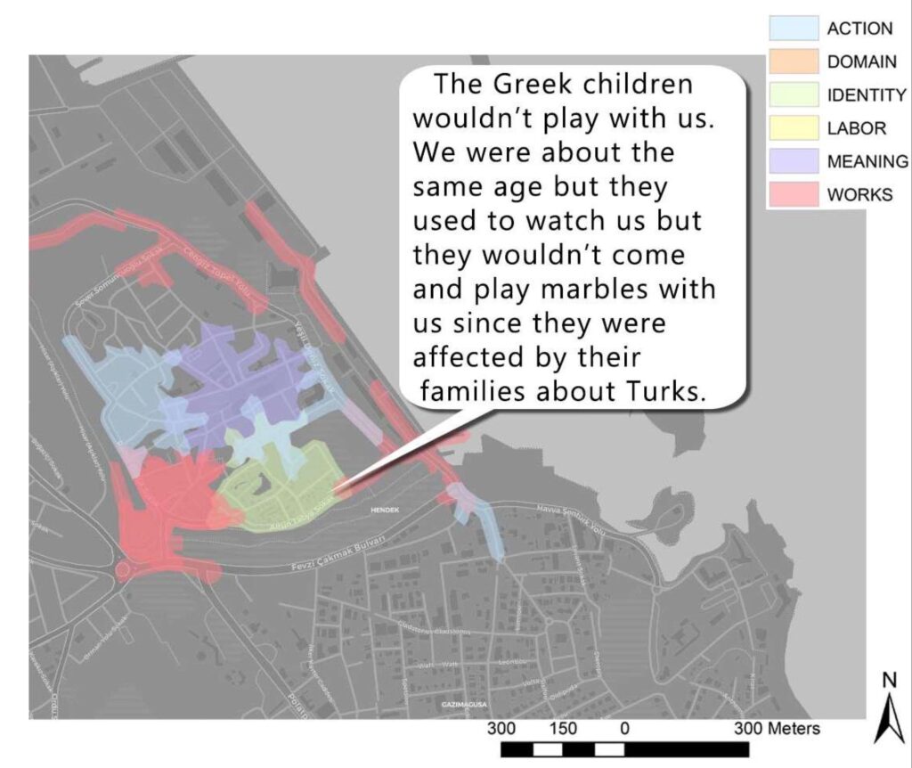
 |
STAKEHOLDER: Karem (redacted) RECORD DATA: 03-05-2015 STORY THEME: Children disallowed playing together due to identity CODE SET: Narrative Infrastructure Human Condition LOCAL NEED: Casual food service PROPOSAL: New café with business name “Losing Our Marbles Together” |
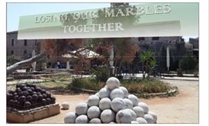 |
Narrative İnfrastructure at Denver, Colorado:
How a 13-Year-Old started Narrative İnfrastructure:
Unveiling a Living History: Interactive Archives for Learning
We are thrilled to unveil a pioneering project that transforms historical archives into a dynamic, interactive learning experience. Our team at Narrative İnfrastructure revitalized the Barry Matchett University Park Oral History Collection, a remarkable archive collected by then 13-year-old Barry in 1986.
Audio Archive at D.U.
From Scout Project to Digital Map: Revitalizing Local Narratives
We’ve transformed 15 hours of compelling interviews into a “narrative infrastructure,” mapping 383 unique stories that span six decades of Denver’s history in University Park.
Urban Study Using Stories
Empowering Students, Transforming Communities:
Imagine empowering the children of your community to explore the evolution of their community through the firsthand accounts of its residents, locating each narrative on a digital map. This project not only preserves invaluable historical data but also provides a powerful tool for urban management.
Get the Kids Involved!
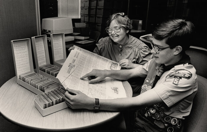 Barry Matchett & Annita Andrick: click here to visit the Penrose Archives
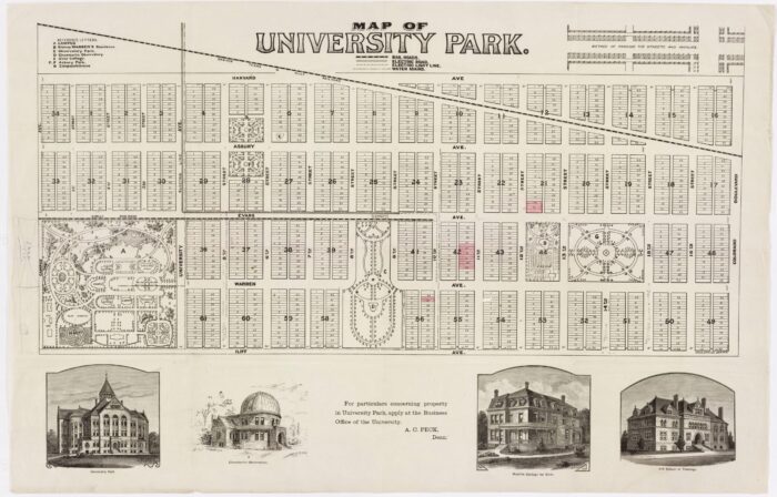 Plat map of University Park
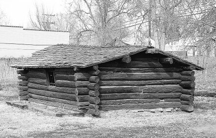 Oldest surviving home
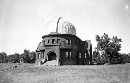 Observatory of Denver University
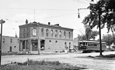
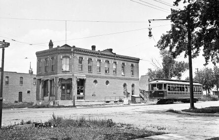 Number 8 Train and "White" General Store
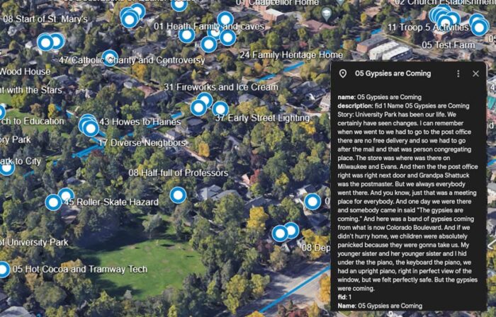 Click here to see a video of Berry's stories informing research
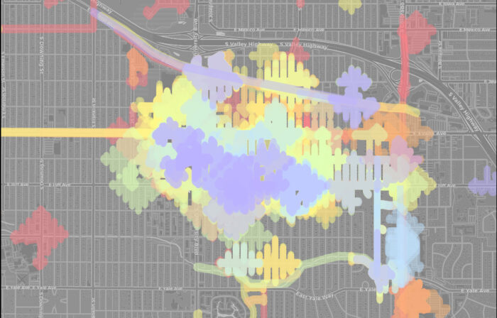 Click to launch Denver Narrative Infrastructure
Collaboration
Building Narrative İnfrastructure is not complicated, but we need local advocates to motivate educators to make the CHAT MAP workshop a part of their regular semester.
CHAT-MAPs is our school workshop program to build narrative infrastructure. The students collect the stories and we combine them:
-
- Students collect and do basic mapping using their own devices and off the shelf software.
- Narrative İnfrastructure compiles and creates the final, comprehensive neighborhood map (gratis for a limited number of classes per semester, apply early.)
- Narrative İnfrastructure helps teachers involve planners, NGOs, local leaders, and neighborhood associations with the workshop to make the stories the students collect impactful now and into the future.
Nİ Benefits to Urban Planning
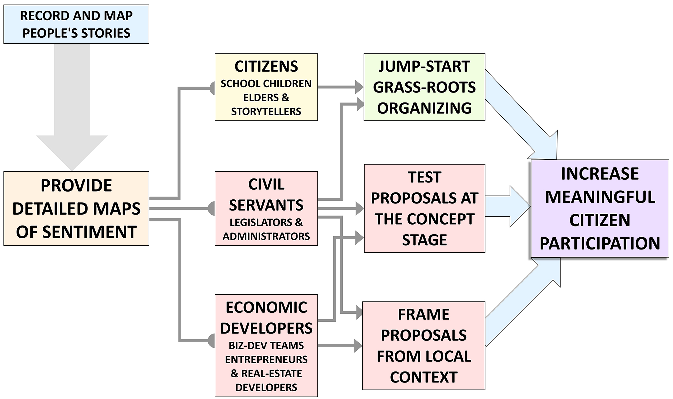
Get the GIS-ready data for helping your community: story data you can overlay with your usual management layers, or stories to ground a presentation or pitch. With robust Narrative İnfrastructure, you can:
-
- Preliminary concept evaluation before community feedback.
- Frame your proposals as extensions of community stories.
- Identify areas of need and natural supporters.
- Identify areas inappropriate for projects.
- Re-frame technical data in presentations to the community in terms they already understand.
Flow of Story-Power
Services We Offer
-
- Training
- Mapping
- Project coordination
- Free continuing education
- Community Engagement Add-on service
- Outreach effort support (planning and marketing materials)
Please fill out the Interest Form:
